Inside the NR-1
We're circumnavigating the base of the West Flower Garden Bank, cruising along close to the sea floor so we can see the bottom with our viewports and cameras. The area we are searching was once an ancient shoreline back in the last Ice Age. In the deeper water (about 300-600 feet), we've noted the skeletons of ancient coral reefs that typically live much closer to the surface and sunlight. These old corals show that once long ago the sea levels were much lower than they are today.
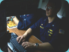
In our search around the base of the banks, we are hoping to record some evidence of human activity on the shore from those ancient times. Argus was on the bottom for a while, too, but had to be retrieved due to the weather. Carolyn also reports that we have problems with the expedition's satellite connection to shore. All this new technology is wonderful when it works, but sometimes older systems like NR-1 prove to be more reliable. "New" does not always mean "improved", and "complex" doesn't always mean "sophisticated" even though it is easy to get fooled into thinking that way. However, once the team works the bugs out of the Argus/satellite communication system, the results will be terrific.
We're now on the eastern side of West Flower Garden Bank. Visibility here is poor, so there is not much for NR-1 to do here except gather some side-scanning sonar data. There are oil production rigs nearby, so we have to be careful to stay well clear. We don't want to mix it up with those big machines! There is also a canyon that passes through the bank from west to east, funneling the prevailing ocean currents through the marine sanctuary like an underwater river. That may be why the visibility is so poor in this area of the ocean.